

The Missing Dimension in Precision Soil Science: Making the Case for Continuous Depth Measurement
- S4 Blogger

- Apr 15
- 2 min read
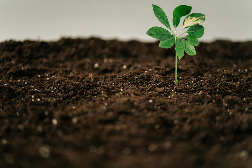
Soil science has made significant advances in field measurement over the past two decades. Spectroscopic analysis, drone-based remote sensing, and increasingly sophisticated laboratory methods have improved both the speed and accuracy of soil characterization. Yet one dimension remains consistently underrepresented in field-scale data programs: depth.
Where Current Methods Fall Short
Standard agronomic sampling protocols, typically three to four cores per two to five acres, provide a useful but coarse representation of field variability. These methods offer point-in-time snapshots at select depths but lack the spatial resolution and continuous vertical profiling needed to accurately characterize how soil organic carbon, water content, and bulk density, and related properties change throughout the soil profile.
Remote sensing tools complement this picture at the surface, but optical sensors and multispectral imagery are inherently limited in their penetration depth. For soil scientists investigating yield-limiting factors, carbon sequestration potential, or the dynamics of nutrient cycling below the tillage layer, surface data represents an incomplete dataset.
The Value of Spectroscopic Depth Profiling
Continuous, in-field spectroscopic measurement addresses several of these limitations simultaneously. By measuring soil organic carbon, water content, and bulk density to 90 cm without laboratory extraction, sample handling, or extended processing time, it becomes possible to generate depth-resolved profiles at the spatial density and precision that field-scale variability actually demands.
This has meaningful implications across several research and applied contexts: baseline characterization for carbon program verification, investigation of subsurface compaction and its influence on water movement, and evaluation of management practice impacts on carbon stratification over time.
The operational efficiency is equally significant. Real-time results from a portable, single-operator instrument reduce the time and cost barriers that have historically constrained high-resolution soil sampling to small-plot research rather than field-scale application.
Building a More Complete Data Program
For agronomists and soil scientists, the question is less about whether depth data matters, and more about how to integrate it practically into existing programs. Continuous subsurface profiling is not a replacement for laboratory analysis or surface sensing. It is the additional dimension that makes both more interpretable.
To learn more about the Subterra Green's spectroscopic methodology and field performance data, visit s4laboratories.com or contact our team to discuss research and professional program applications.

Comments